
Distance between  Emgwenya and
  Besters
197.87 mi Straight Distance
253.23 mi Driving Distance
5 hours 32 mins Estimated Driving Time
The straight distance between Emgwenya (Mpumalanga) and Besters (KwaZulu-Natal) is 197.87 mi, but the driving distance is 253.23 mi.
It takes 5 hours 32 mins to go from Emgwenya to Besters.
Driving directions from Emgwenya to Besters
Distance in kilometers
Straight distance: 318.38 km. Route distance: 407.44 km
Emgwenya, South Africa
Latitude: -25.6348 // Longitude: 30.3332
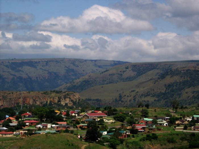
Photos of Emgwenya


Emgwenya Weather

Forecast: Clear sky
Temperature: 23.1°
Humidity: 33%
Current time: 11:48 PM
Sunrise: 05:56 AM
Sunset: 06:20 PM
Besters, South Africa
Latitude: -28.4333 // Longitude: 29.65
Photos of Besters


Besters Weather
Forecast: Clear sky
Temperature: 25.6°
Humidity: 22%
Sun info not available


