
Distance between  Ermelo and
  Westville
236.09 mi Straight Distance
303.66 mi Driving Distance
5 hours 38 mins Estimated Driving Time
The straight distance between Ermelo (Mpumalanga) and Westville (KwaZulu-Natal) is 236.09 mi, but the driving distance is 303.66 mi.
It takes 5 hours 38 mins to go from Ermelo to Westville.
Driving directions from Ermelo to Westville
Distance in kilometers
Straight distance: 379.88 km. Route distance: 488.59 km
Ermelo, South Africa
Latitude: -26.518 // Longitude: 29.984
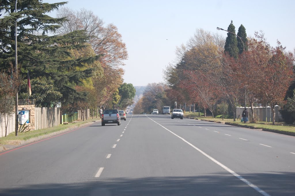
Photos of Ermelo
![Ermelo - Biblioteca [feb 10]](/photos/32604333.jpg "Ermelo - Biblioteca [feb 10]")


Ermelo Weather

Forecast: Clear sky
Temperature: 18.0°
Humidity: 40%
Current time: 09:13 PM
Sunrise: 05:56 AM
Sunset: 06:24 PM
Westville, South Africa
Latitude: -29.8317 // Longitude: 30.9303
Photos of Westville


 as seen from Reservoir Hills")

")


Westville Weather
Forecast: Clear sky
Temperature: 18.0°
Humidity: 40%
Current time: 09:13 PM
Sunrise: 05:51 AM
Sunset: 06:22 PM


