
Distance between  Franschhoek and
  Cala
Cala
524.32 mi Straight Distance
649.72 mi Driving Distance
13 hours 23 mins Estimated Driving Time
The straight distance between Franschhoek (Western Cape) and Cala (Eastern Cape) is 524.32 mi, but the driving distance is 649.72 mi.
It takes 13 hours 23 mins to go from Franschhoek to Cala.
Driving directions from Franschhoek to Cala
Distance in kilometers
Straight distance: 843.64 km. Route distance: 1,045.41 km
Franschhoek, South Africa
Latitude: -33.9167 // Longitude: 19.1333
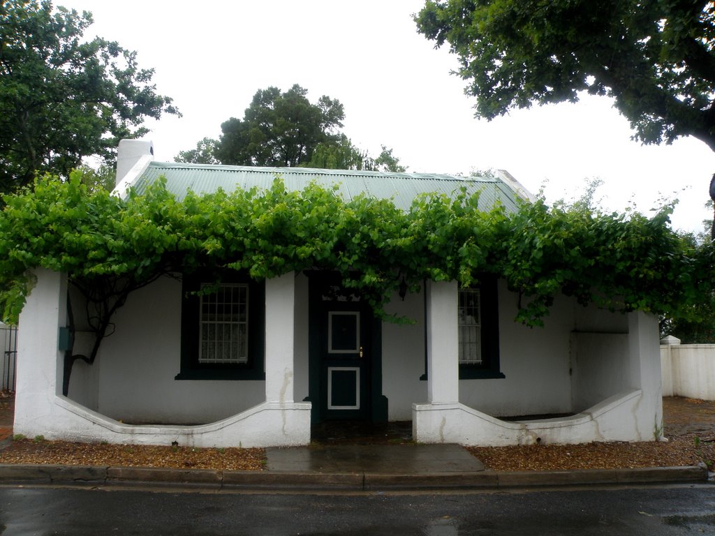
Photos of Franschhoek


Franschhoek Weather

Forecast: Clear sky
Temperature: 18.0°
Humidity: 40%
Current time: 12:54 PM
Sunrise: 06:34 AM
Sunset: 07:15 PM
Cala, South Africa
Latitude: -31.5241 // Longitude: 27.6969
Photos of Cala


Cala Weather
Forecast: Clear sky
Temperature: 18.0°
Humidity: 40%
Current time: 12:54 PM
Sunrise: 06:01 AM
Sunset: 06:39 PM


