
Distance between  Graaff-Reinet and
  Brakpan
475.14 mi Straight Distance
530.53 mi Driving Distance
9 hours 22 mins Estimated Driving Time
The straight distance between Graaff-Reinet (Eastern Cape) and Brakpan (Gauteng) is 475.14 mi, but the driving distance is 530.53 mi.
It takes to go from Graaff-Reinet to Brakpan.
Driving directions from Graaff-Reinet to Brakpan
Distance in kilometers
Straight distance: 764.50 km. Route distance: 853.62 km
Graaff-Reinet, South Africa
Latitude: -32.2522 // Longitude: 24.5406
Photos of Graaff-Reinet


Graaff-Reinet Weather

Forecast: Clear sky
Temperature: 26.1°
Humidity: 63%
Current time: 01:30 PM
Sunrise: 06:07 AM
Sunset: 07:01 PM
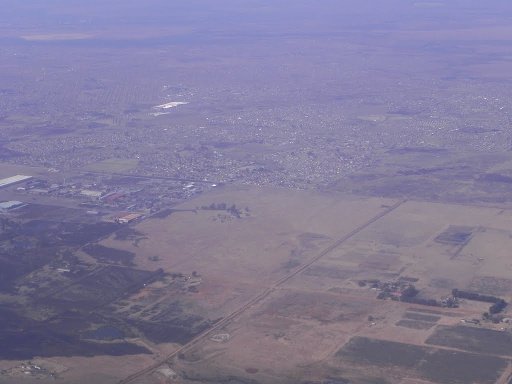
Brakpan, South Africa
Latitude: -26.2377 // Longitude: 28.3652
Photos of Brakpan


Brakpan Weather
Forecast: Clear sky
Temperature: 25.2°
Humidity: 30%
Current time: 01:30 PM
Sunrise: 05:57 AM
Sunset: 06:41 PM


