
Distance between  Heidelberg and
  Ashton
54.26 mi Straight Distance
63.79 mi Driving Distance
1 hour 34 mins Estimated Driving Time
The straight distance between Heidelberg (Western Cape) and Ashton (Western Cape) is 54.26 mi, but the driving distance is 63.79 mi.
It takes 1 hour 34 mins to go from Heidelberg to Ashton.
Driving directions from Heidelberg to Ashton
Distance in kilometers
Straight distance: 87.31 km. Route distance: 102.63 km
Heidelberg, South Africa
Latitude: -34.0902 // Longitude: 20.9501
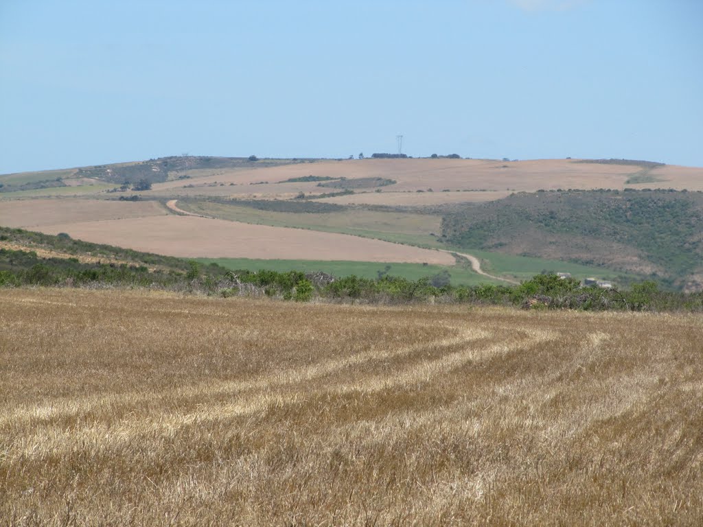
Photos of Heidelberg


Heidelberg Weather

Forecast: Clear sky
Temperature: 19.7°
Humidity: 72%
Current time: 01:42 AM
Sunrise: 06:30 AM
Sunset: 07:02 PM
Ashton, South Africa
Latitude: -33.8347 // Longitude: 20.0547
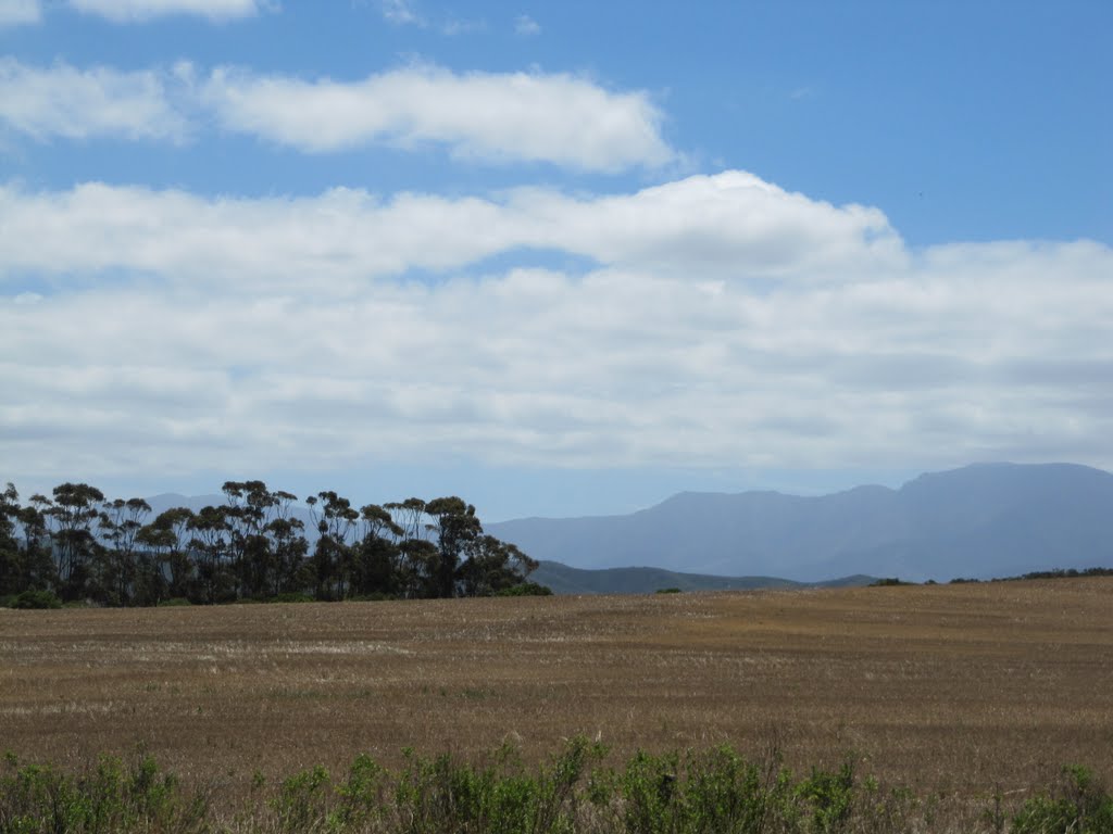
Photos of Ashton


")


Ashton Weather
Forecast: Clear sky
Temperature: 21.8°
Humidity: 57%
Current time: 01:42 AM
Sunrise: 06:33 AM
Sunset: 07:06 PM


