
Distance between  Heidelberg and
  Cofimvaba
409.91 mi Straight Distance
532.90 mi Driving Distance
11 hours 11 mins Estimated Driving Time
The straight distance between Heidelberg (Western Cape) and Cofimvaba (Eastern Cape) is 409.91 mi, but the driving distance is 532.90 mi.
It takes to go from Heidelberg to Cofimvaba.
Driving directions from Heidelberg to Cofimvaba
Distance in kilometers
Straight distance: 659.54 km. Route distance: 857.44 km
Heidelberg, South Africa
Latitude: -34.0902 // Longitude: 20.9501
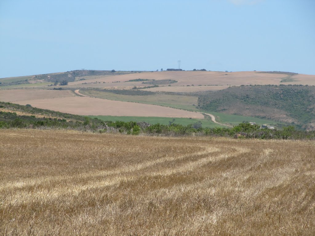
Photos of Heidelberg


Heidelberg Weather

Forecast: Overcast clouds
Temperature: 20.6°
Humidity: 82%
Current time: 02:50 PM
Sunrise: 06:18 AM
Sunset: 07:20 PM
Cofimvaba, South Africa
Latitude: -32.0187 // Longitude: 27.5848
Photos of Cofimvaba


Cofimvaba Weather
Forecast: Overcast clouds
Temperature: 18.3°
Humidity: 82%
Current time: 02:50 PM
Sunrise: 05:53 AM
Sunset: 06:51 PM


