
Distance between  Heidelberg and
  Dohne
Dohne
390.69 mi Straight Distance
484.20 mi Driving Distance
9 hours 25 mins Estimated Driving Time
The straight distance between Heidelberg (Western Cape) and Dohne (Eastern Cape) is 390.69 mi, but the driving distance is 484.20 mi.
It takes 9 hours 25 mins to go from Heidelberg to Dohne.
Driving directions from Heidelberg to Dohne
Distance in kilometers
Straight distance: 628.62 km. Route distance: 779.09 km
Heidelberg, South Africa
Latitude: -34.0902 // Longitude: 20.9501
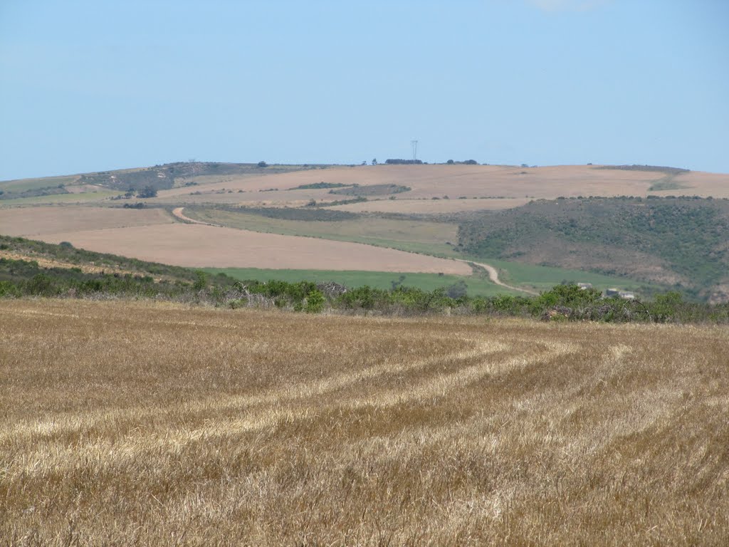
Photos of Heidelberg


Heidelberg Weather

Forecast: Clear sky
Temperature: 18.0°
Humidity: 40%
Current time: 09:52 PM
Sunrise: 06:27 AM
Sunset: 07:06 PM
Dohne, South Africa
Latitude: -32.5167 // Longitude: 27.45
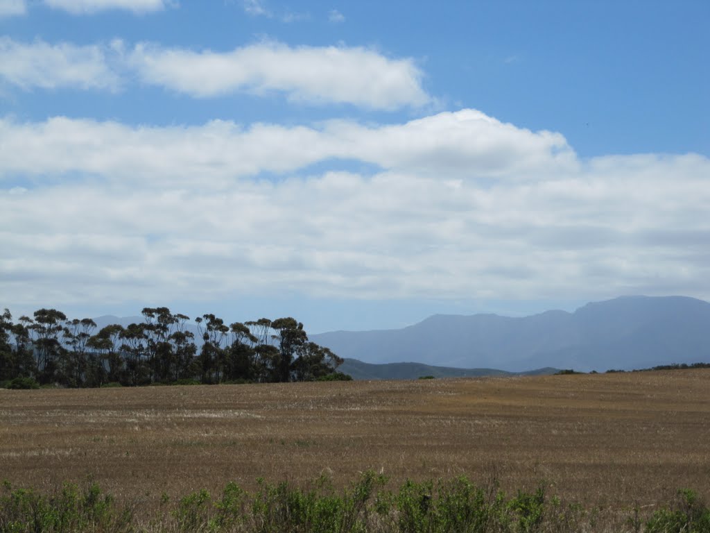
Photos of Dohne
")


Dohne Weather
Forecast: Clear sky
Temperature: 18.0°
Humidity: 40%
Current time: 09:52 PM
Sunrise: 06:02 AM
Sunset: 06:39 PM


