
Distance between  Kimberley and
  Smithfield
148.09 mi Straight Distance
181.47 mi Driving Distance
3 hours 12 mins Estimated Driving Time
The straight distance between Kimberley (Northern Cape) and Smithfield (Free State) is 148.09 mi, but the driving distance is 181.47 mi.
It takes to go from Kimberley to Smithfield.
Driving directions from Kimberley to Smithfield
Distance in kilometers
Straight distance: 238.28 km. Route distance: 291.98 km
Kimberley, South Africa
Latitude: -28.7293 // Longitude: 24.754
Photos of Kimberley


Kimberley Weather

Predicción: Broken clouds
Temperatura: 19.9°
Humedad: 88%
Hora actual: 02:28 AM
Amanece: 06:00 AM
Anochece: 07:09 PM
Smithfield, South Africa
Latitude: -30.2125 // Longitude: 26.5314
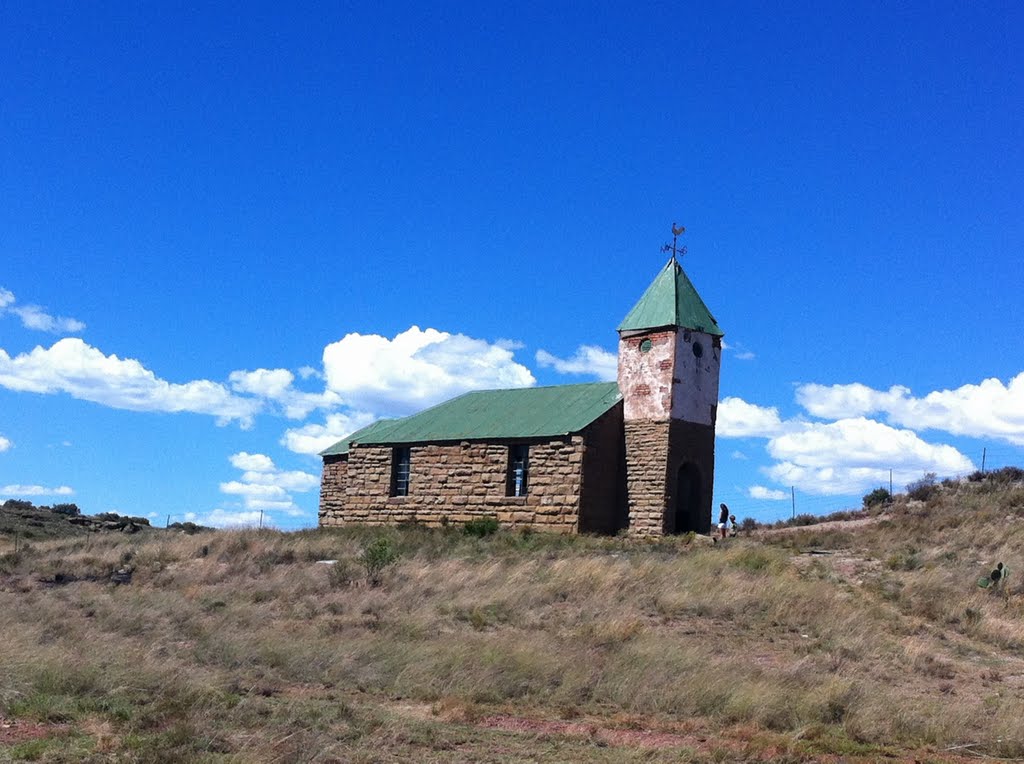
Photos of Smithfield


Smithfield Weather

Predicción: Scattered clouds
Temperatura: 16.7°
Humedad: 81%
Hora actual: 02:00 AM
Amanece: 05:51 AM
Anochece: 07:04 PM


