
Distance between  Lyttelton and
  Besters
200.21 mi Straight Distance
234.82 mi Driving Distance
4 hours 31 mins Estimated Driving Time
The straight distance between Lyttelton (Gauteng) and Besters (KwaZulu-Natal) is 200.21 mi, but the driving distance is 234.82 mi.
It takes 4 hours 31 mins to go from Lyttelton to Besters.
Driving directions from Lyttelton to Besters
Distance in kilometers
Straight distance: 322.14 km. Route distance: 377.83 km
Lyttelton, South Africa
Latitude: -25.8317 // Longitude: 28.216
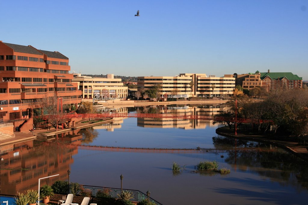
Photos of Lyttelton


Lyttelton Weather

Forecast: Clear sky
Temperature: 25.1°
Humidity: 27%
Current time: 07:45 PM
Sunrise: 06:04 AM
Sunset: 06:30 PM
Besters, South Africa
Latitude: -28.4333 // Longitude: 29.65
Photos of Besters


Besters Weather
Forecast: Clear sky
Temperature: 15.6°
Humidity: 46%
Sun info not available


