
Distance between  Maclear and
  Kenton-on-Sea
205.15 mi Straight Distance
301.58 mi Driving Distance
6 hours 23 mins Estimated Driving Time
The straight distance between Maclear (Eastern Cape) and Kenton-on-Sea (Eastern Cape) is 205.15 mi, but the driving distance is 301.58 mi.
It takes to go from Maclear to Kenton-on-Sea.
Driving directions from Maclear to Kenton-on-Sea
Distance in kilometers
Straight distance: 330.08 km. Route distance: 485.24 km
Maclear, South Africa
Latitude: -31.0756 // Longitude: 28.3574
Photos of Maclear


Maclear Weather

Forecast: Scattered clouds
Temperature: 23.0°
Humidity: 63%
Current time: 05:19 PM
Sunrise: 05:49 AM
Sunset: 06:51 PM
Kenton-on-Sea, South Africa
Latitude: -33.6806 // Longitude: 26.6701
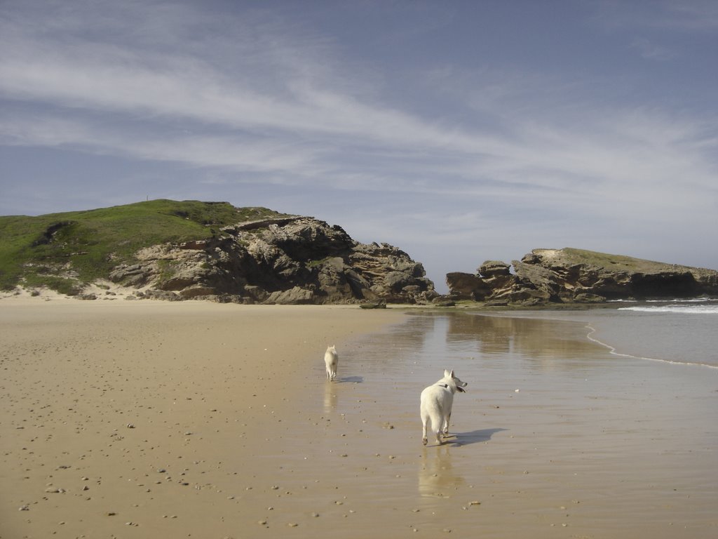
Photos of Kenton-on-Sea


Kenton-on-Sea Weather

Forecast: Overcast clouds
Temperature: 20.5°
Humidity: 88%
Current time: 05:19 PM
Sunrise: 05:53 AM
Sunset: 07:00 PM


