
Distance between  Maclear and
  Smithfield
123.85 mi Straight Distance
199.14 mi Driving Distance
4 hours 42 mins Estimated Driving Time
The straight distance between Maclear (Eastern Cape) and Smithfield (Free State) is 123.85 mi, but the driving distance is 199.14 mi.
It takes 4 hours 27 mins to go from Maclear to Smithfield.
Driving directions from Maclear to Smithfield
Distance in kilometers
Straight distance: 199.27 km. Route distance: 320.42 km
Maclear, South Africa
Latitude: -31.0756 // Longitude: 28.3574
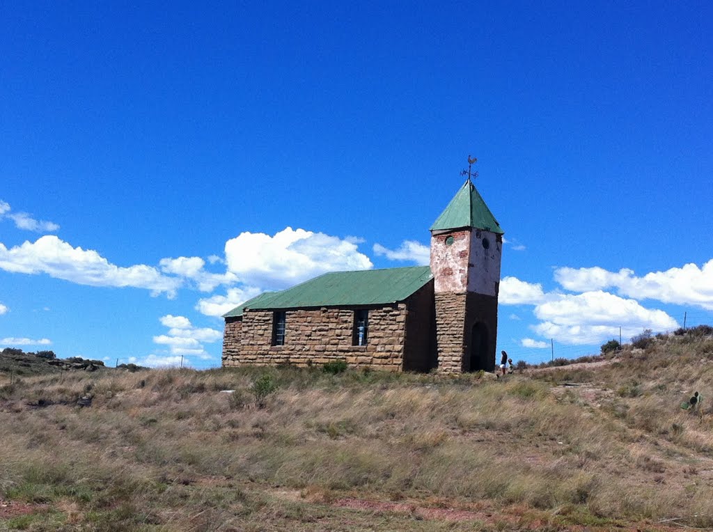
Photos of Maclear


Maclear Weather

Forecast: Scattered clouds
Temperature: 21.1°
Humidity: 44%
Current time: 02:41 AM
Sunrise: 05:56 AM
Sunset: 06:40 PM
Smithfield, South Africa
Latitude: -30.2125 // Longitude: 26.5314
Photos of Smithfield


Smithfield Weather

Forecast: Clear sky
Temperature: 23.4°
Humidity: 16%
Current time: 02:00 AM
Sunrise: 06:04 AM
Sunset: 06:46 PM


