
Distance between  Margate and
  Breyten
315.38 mi Straight Distance
395.38 mi Driving Distance
7 hours 31 mins Estimated Driving Time
The straight distance between Margate (KwaZulu-Natal) and Breyten (Mpumalanga) is 315.38 mi, but the driving distance is 395.38 mi.
It takes to go from Margate to Breyten.
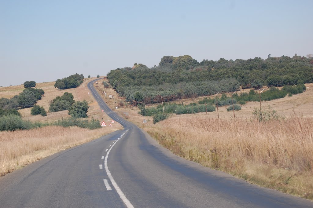
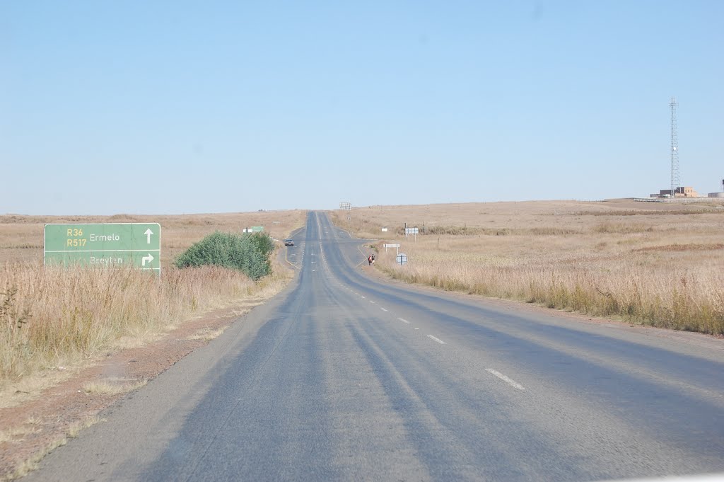
Driving directions from Margate to Breyten
Distance in kilometers
Straight distance: 507.44 km. Route distance: 636.16 km
Margate, South Africa
Latitude: -30.8513 // Longitude: 30.3787
Photos of Margate


Margate Weather

Forecast: Few clouds
Temperature: 22.2°
Humidity: 88%
Current time: 06:42 PM
Sunrise: 05:39 AM
Sunset: 06:44 PM
Breyten, South Africa
Latitude: -26.3 // Longitude: 29.9833
Photos of Breyten


Breyten Weather
Forecast: Few clouds
Temperature: 12.7°
Humidity: 57%
Current time: 06:42 PM
Sunrise: 05:46 AM
Sunset: 06:41 PM


