
Distance between  Matjiesfontein and
  Brakpan
671.50 mi Straight Distance
742.58 mi Driving Distance
12 hours 46 mins Estimated Driving Time
The straight distance between Matjiesfontein (Western Cape) and Brakpan (Gauteng) is 671.50 mi, but the driving distance is 742.58 mi.
It takes 12 hours 46 mins to go from Matjiesfontein to Brakpan.
Driving directions from Matjiesfontein to Brakpan
Distance in kilometers
Straight distance: 1,080.45 km. Route distance: 1,194.81 km
Matjiesfontein, South Africa
Latitude: -33.2313 // Longitude: 20.5822
Photos of Matjiesfontein


Matjiesfontein Weather

Forecast: Clear sky
Temperature: 33.3°
Humidity: 18%
Sun info not available
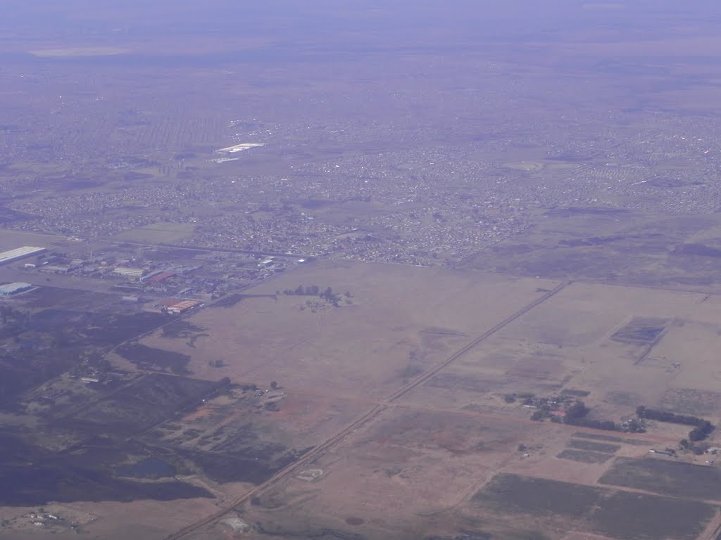
Brakpan, South Africa
Latitude: -26.2377 // Longitude: 28.3652
Photos of Brakpan


Brakpan Weather
Forecast: Clear sky
Temperature: 23.0°
Humidity: 17%
Current time: 07:36 PM
Sunrise: 06:03 AM
Sunset: 06:29 PM


