
Distance between  Matjiesfontein and
  Ermelo
729.07 mi Straight Distance
850.78 mi Driving Distance
14 hours 44 mins Estimated Driving Time
The straight distance between Matjiesfontein (Western Cape) and Ermelo (Mpumalanga) is 729.07 mi, but the driving distance is 850.78 mi.
It takes to go from Matjiesfontein to Ermelo.
Driving directions from Matjiesfontein to Ermelo
Distance in kilometers
Straight distance: 1,173.07 km. Route distance: 1,368.91 km
Matjiesfontein, South Africa
Latitude: -33.2313 // Longitude: 20.5822
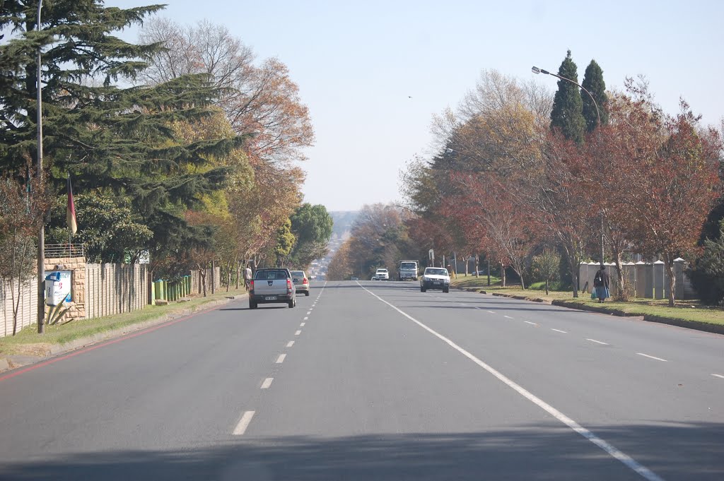
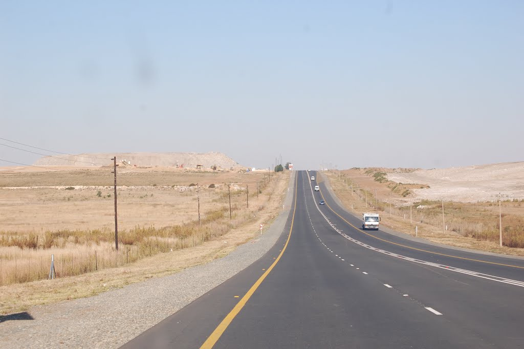
Photos of Matjiesfontein


Matjiesfontein Weather

Predicción: Cielo claro
Temperatura: 18.0°
Humedad: 40%
Hora actual: 12:00 AM
Amanece: 04:11 AM
Anochece: 05:31 PM
Ermelo, South Africa
Latitude: -26.518 // Longitude: 29.984
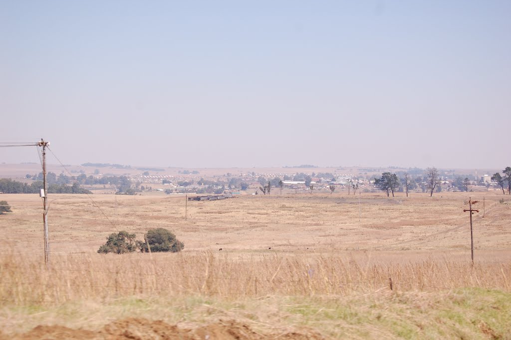
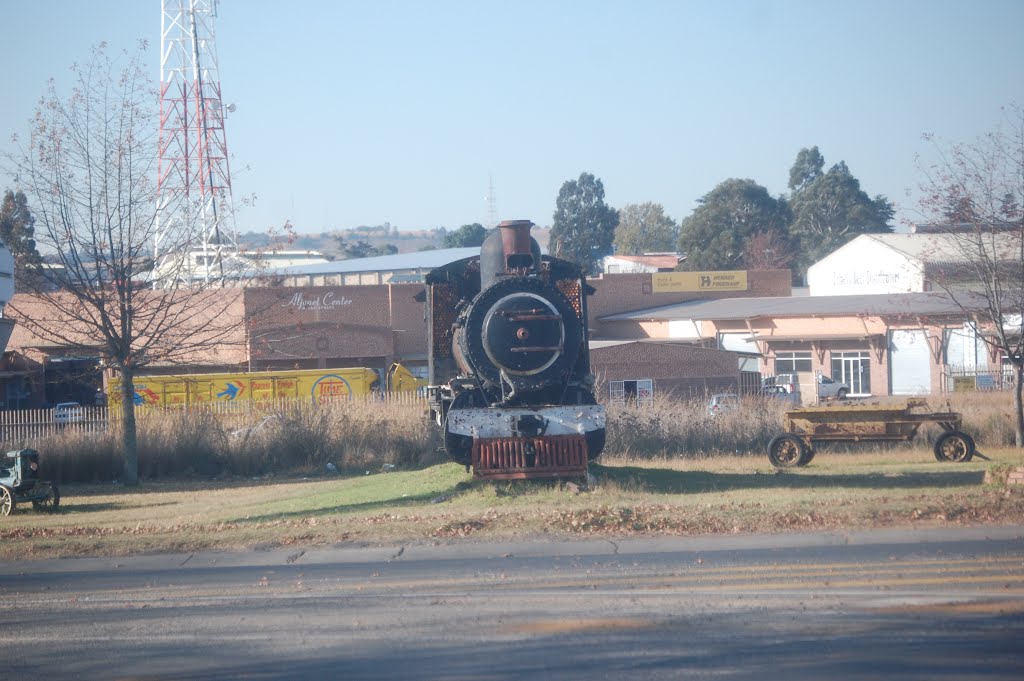
Photos of Ermelo
![Ermelo - Biblioteca [feb 10]](/photos/32604333.jpg "Ermelo - Biblioteca [feb 10]")


Ermelo Weather
Predicción: Cielo claro
Temperatura: 18.0°
Humedad: 40%
Hora actual: 09:50 AM
Amanece: 05:42 AM
Anochece: 06:45 PM


