
Distance between  Mount Fletcher and
  De Rust
399.74 mi Straight Distance
515.61 mi Driving Distance
11 hours 27 mins Estimated Driving Time
The straight distance between Mount Fletcher (Eastern Cape) and De Rust (Western Cape) is 399.74 mi, but the driving distance is 515.61 mi.
It takes to go from Mount Fletcher to De Rust.
Driving directions from Mount Fletcher to De Rust
Distance in kilometers
Straight distance: 643.18 km. Route distance: 829.62 km
Mount Fletcher, South Africa
Latitude: -30.6926 // Longitude: 28.5157
Photos of Mount Fletcher


Mount Fletcher Weather

Predicción: Overcast clouds
Temperatura: 10.4°
Humedad: 87%
Hora actual: 05:32 PM
Amanece: 05:43 AM
Anochece: 06:56 PM
De Rust, South Africa
Latitude: -33.4885 // Longitude: 22.5351
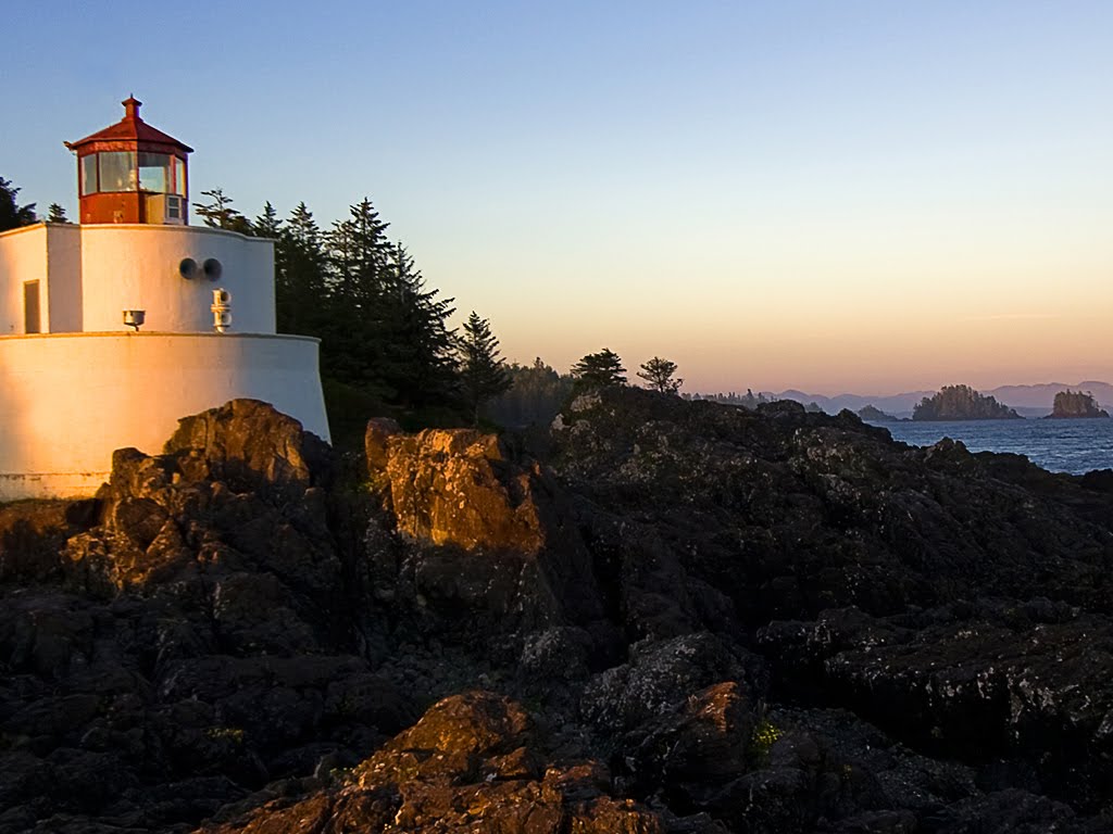
Photos of De Rust


De Rust Weather

Predicción: Few clouds
Temperatura: 19.1°
Humedad: 48%
Hora actual: 05:32 PM
Amanece: 06:03 AM
Anochece: 07:24 PM


