
Distance between  Paul Roux and
  Douglas
259.38 mi Straight Distance
294.27 mi Driving Distance
5 hours 44 mins Estimated Driving Time
The straight distance between Paul Roux (Free State) and Douglas (Northern Cape) is 259.38 mi, but the driving distance is 294.27 mi.
It takes 5 hours 44 mins to go from Paul Roux to Douglas.
Driving directions from Paul Roux to Douglas
Distance in kilometers
Straight distance: 417.35 km. Route distance: 473.49 km
Paul Roux, South Africa
Latitude: -28.2961 // Longitude: 27.9599
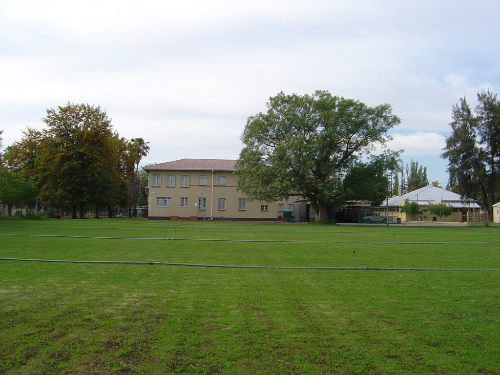
Photos of Paul Roux


Paul Roux Weather

Forecast: Scattered clouds
Temperature: 13.7°
Humidity: 91%
Sun info not available
Douglas, South Africa
Latitude: -29.0589 // Longitude: 23.7699
Photos of Douglas


Douglas Weather

Forecast: Clear sky
Temperature: 22.1°
Humidity: 32%
Current time: 04:04 PM
Sunrise: 06:19 AM
Sunset: 06:52 PM


