
Distance between  Reitz and
  Roodepoort
118.33 mi Straight Distance
147.18 mi Driving Distance
3 hours 10 mins Estimated Driving Time
The straight distance between Reitz (Free State) and Roodepoort (Gauteng) is 118.33 mi, but the driving distance is 147.18 mi.
It takes to go from Reitz to Roodepoort.
Driving directions from Reitz to Roodepoort
Distance in kilometers
Straight distance: 190.39 km. Route distance: 236.82 km
Reitz, South Africa
Latitude: -27.801 // Longitude: 28.4318
Photos of Reitz


Reitz Weather

Forecast: Overcast clouds
Temperature: 15.2°
Humidity: 93%
Current time: 02:53 AM
Sunrise: 05:54 AM
Sunset: 06:44 PM
Roodepoort, South Africa
Latitude: -26.1625 // Longitude: 27.8725
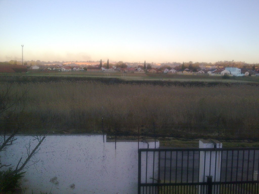
Photos of Roodepoort

![Roodepoort - estación del ferrocarril [oct 08]](/photos/14877329.jpg "Roodepoort - estación del ferrocarril [oct 08]")


![Roodepoort - Ayuntamiento [oct 08]](/photos/14877224.jpg "Roodepoort - Ayuntamiento [oct 08]")
Roodepoort Weather
Forecast: Overcast clouds
Temperature: 16.8°
Humidity: 84%
Current time: 02:53 AM
Sunrise: 05:58 AM
Sunset: 06:45 PM


