
Distance between  Rustenburg and
  Umkomaas
380.93 mi Straight Distance
453.58 mi Driving Distance
8 hours 40 mins Estimated Driving Time
The straight distance between Rustenburg (North West) and Umkomaas (KwaZulu-Natal) is 380.93 mi, but the driving distance is 453.58 mi.
It takes to go from Rustenburg to Umkomaas.
Driving directions from Rustenburg to Umkomaas
Distance in kilometers
Straight distance: 612.92 km. Route distance: 729.80 km
Rustenburg, South Africa
Latitude: -25.6597 // Longitude: 27.2432
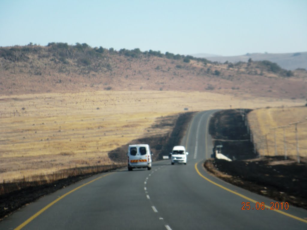
Photos of Rustenburg


")
")
Rustenburg Weather

Forecast: Overcast clouds
Temperature: 22.7°
Humidity: 66%
Current time: 02:52 AM
Sunrise: 06:01 AM
Sunset: 06:46 PM
Umkomaas, South Africa
Latitude: -30.2007 // Longitude: 30.7838
Photos of Umkomaas


Umkomaas Weather

Forecast: Scattered clouds
Temperature: 23.0°
Humidity: 91%
Current time: 02:52 AM
Sunrise: 05:43 AM
Sunset: 06:36 PM


