
Distance between  Smithfield and
  Coalville
330.37 mi Straight Distance
410.47 mi Driving Distance
7 hours 6 mins Estimated Driving Time
The straight distance between Smithfield (Free State) and Coalville (Mpumalanga) is 330.37 mi, but the driving distance is 410.47 mi.
It takes 7 hours 6 mins to go from Smithfield to Coalville.
Driving directions from Smithfield to Coalville
Distance in kilometers
Straight distance: 531.57 km. Route distance: 660.44 km
Smithfield, South Africa
Latitude: -30.2125 // Longitude: 26.5314
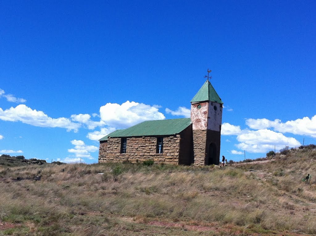
Photos of Smithfield


Smithfield Weather

Forecast: Clear sky
Temperature: 26.2°
Humidity: 22%
Sun info not available
Coalville, South Africa
Latitude: -26.0333 // Longitude: 29.1667
Photos of Coalville


Coalville Weather
Forecast: Clear sky
Temperature: 25.0°
Humidity: 18%
Sun info not available


