
Distance between  Smithfield and
  Prieska
229.85 mi Straight Distance
297.68 mi Driving Distance
6 hours 15 mins Estimated Driving Time
The straight distance between Smithfield (Free State) and Prieska (Northern Cape) is 229.85 mi, but the driving distance is 297.68 mi.
It takes 5 hours 49 mins to go from Smithfield to Prieska.
Driving directions from Smithfield to Prieska
Distance in kilometers
Straight distance: 369.83 km. Route distance: 478.96 km
Smithfield, South Africa
Latitude: -30.2125 // Longitude: 26.5314
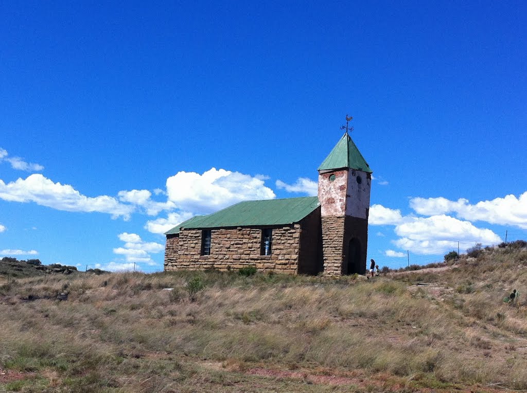
Photos of Smithfield


Smithfield Weather

Forecast: Clear sky
Temperature: 18.0°
Humidity: 40%
Current time: 12:00 AM
Sunrise: 04:05 AM
Sunset: 04:45 PM
Prieska, South Africa
Latitude: -29.6683 // Longitude: 22.7439
Photos of Prieska


Prieska Weather
Forecast: Clear sky
Temperature: 18.0°
Humidity: 40%
Current time: 02:37 PM
Sunrise: 06:21 AM
Sunset: 07:00 PM


