
Distance between  Springfontein and
  Sasolburg
270.42 mi Straight Distance
292.96 mi Driving Distance
5 hours 5 mins Estimated Driving Time
The straight distance between Springfontein (Free State) and Sasolburg (Free State) is 270.42 mi, but the driving distance is 292.96 mi.
It takes 4 hours 41 mins to go from Springfontein to Sasolburg.
Driving directions from Springfontein to Sasolburg
Distance in kilometers
Straight distance: 435.10 km. Route distance: 471.38 km
Springfontein, South Africa
Latitude: -30.2539 // Longitude: 25.7039
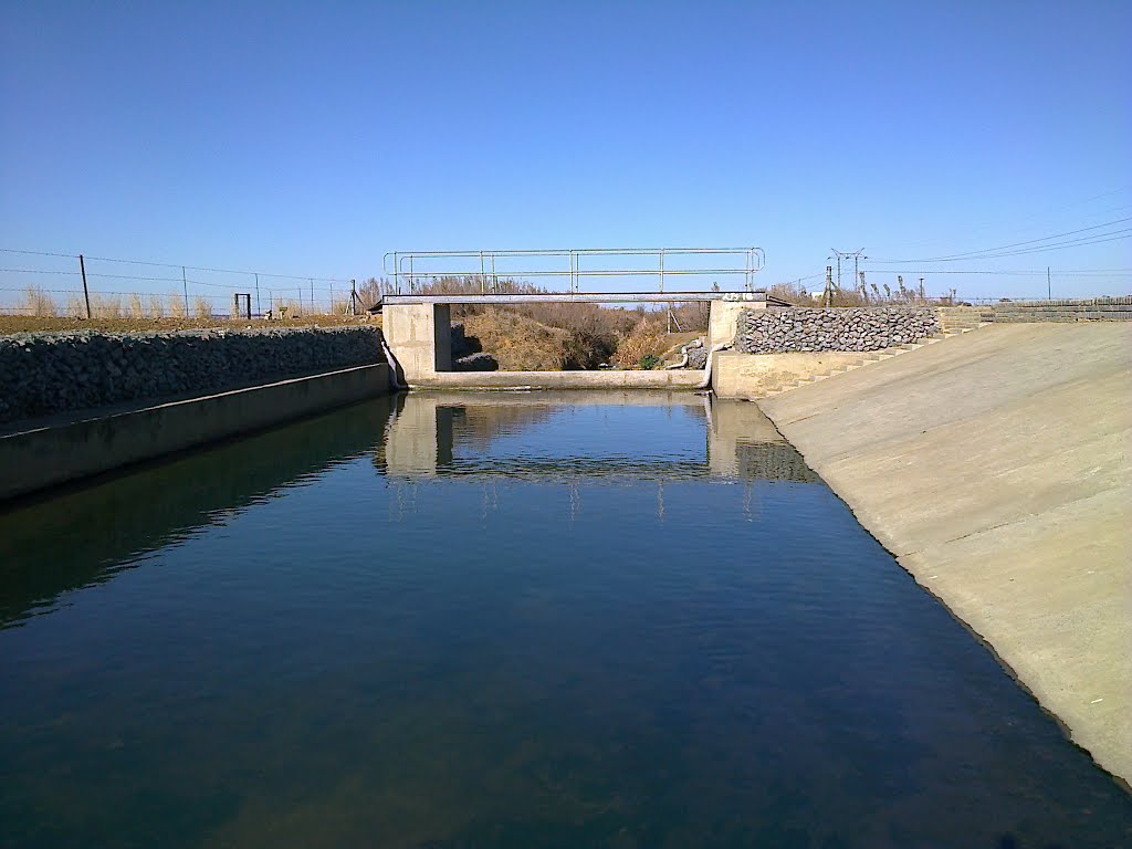
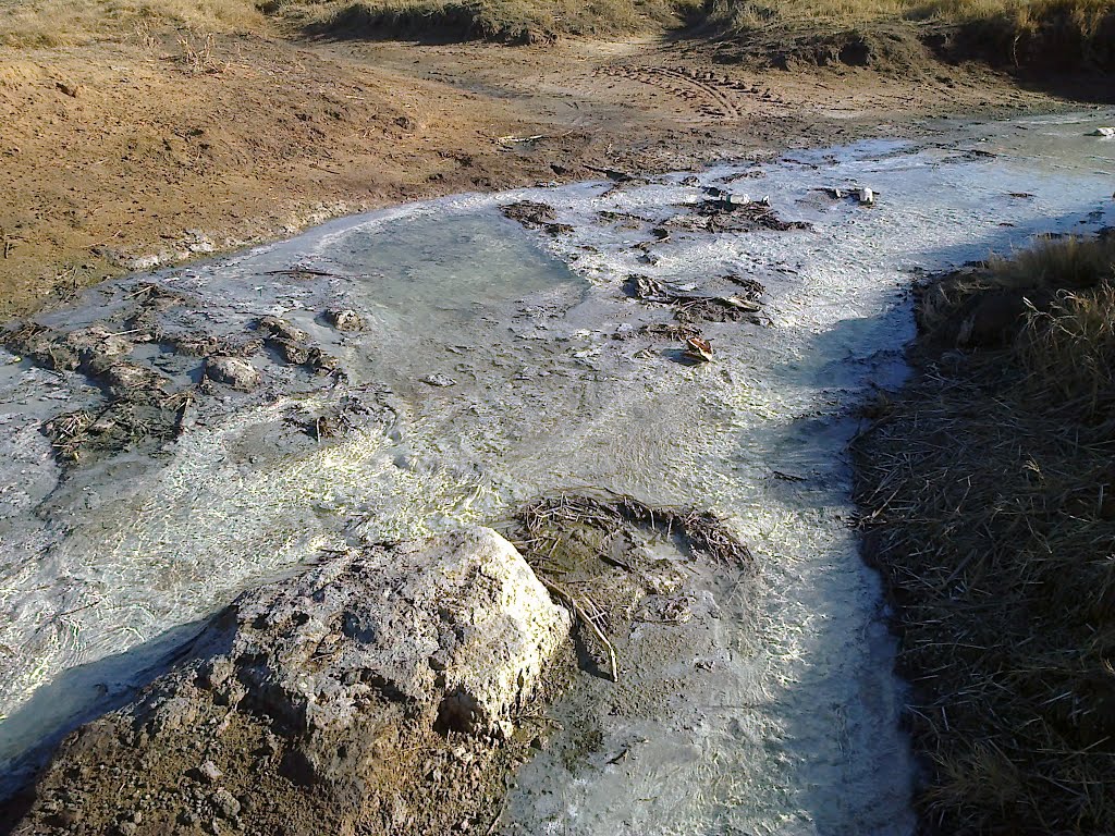
Photos of Springfontein


")
")
Springfontein Weather

Forecast: Light rain
Temperature: 15.9°
Humidity: 88%
Current time: 12:00 AM
Sunrise: 04:02 AM
Sunset: 04:58 PM
Sasolburg, South Africa
Latitude: -26.8193 // Longitude: 27.8406
Photos of Sasolburg


Sasolburg Weather

Forecast: Broken clouds
Temperature: 16.5°
Humidity: 77%
Current time: 05:33 PM
Sunrise: 05:56 AM
Sunset: 06:46 PM


