
Distance between  Stutterheim and
  Hertzogville
326.71 mi Straight Distance
386.79 mi Driving Distance
7 hours 49 mins Estimated Driving Time
The straight distance between Stutterheim (Eastern Cape) and Hertzogville (Free State) is 326.71 mi, but the driving distance is 386.79 mi.
It takes 7 hours 49 mins to go from Stutterheim to Hertzogville.
Driving directions from Stutterheim to Hertzogville
Distance in kilometers
Straight distance: 525.68 km. Route distance: 622.34 km
Stutterheim, South Africa
Latitude: -32.5667 // Longitude: 27.4167
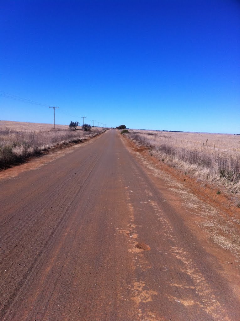
Photos of Stutterheim
")


")


Stutterheim Weather

Forecast: Overcast clouds
Temperature: 17.8°
Humidity: 98%
Current time: 02:23 PM
Sunrise: 06:02 AM
Sunset: 06:39 PM
Hertzogville, South Africa
Latitude: -28.1345 // Longitude: 25.5063
Photos of Hertzogville


Hertzogville Weather

Forecast: Clear sky
Temperature: 18.0°
Humidity: 40%
Sun info not available


