
Distance between  Stutterheim and
  Hobhouse
210.26 mi Straight Distance
272.27 mi Driving Distance
5 hours 44 mins Estimated Driving Time
The straight distance between Stutterheim (Eastern Cape) and Hobhouse (Free State) is 210.26 mi, but the driving distance is 272.27 mi.
It takes 5 hours 44 mins to go from Stutterheim to Hobhouse.
Driving directions from Stutterheim to Hobhouse
Distance in kilometers
Straight distance: 338.31 km. Route distance: 438.09 km
Stutterheim, South Africa
Latitude: -32.5667 // Longitude: 27.4167
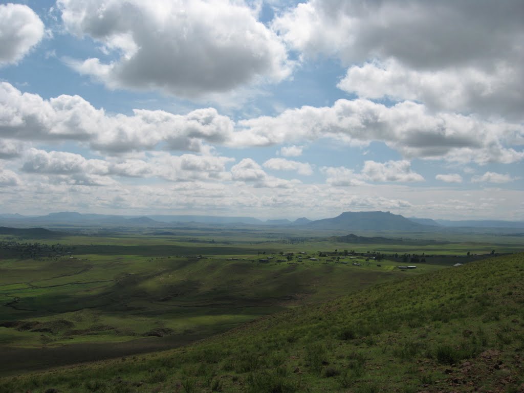
Photos of Stutterheim
")


")


Stutterheim Weather

Forecast: Clear sky
Temperature: 18.0°
Humidity: 40%
Current time: 11:05 AM
Sunrise: 06:04 AM
Sunset: 06:37 PM
Hobhouse, South Africa
Latitude: -29.5315 // Longitude: 27.1601
Photos of Hobhouse


Hobhouse Weather
Forecast: Clear sky
Temperature: 18.0°
Humidity: 40%
Sun info not available


