
Distance between  Thokoza and
  Cala
Cala
358.07 mi Straight Distance
491.57 mi Driving Distance
9 hours 44 mins Estimated Driving Time
The straight distance between Thokoza (Gauteng) and Cala (Eastern Cape) is 358.07 mi, but the driving distance is 491.57 mi.
It takes to go from Thokoza to Cala.
Driving directions from Thokoza to Cala
Distance in kilometers
Straight distance: 576.14 km. Route distance: 790.94 km
Thokoza, South Africa
Latitude: -26.3557 // Longitude: 28.1327
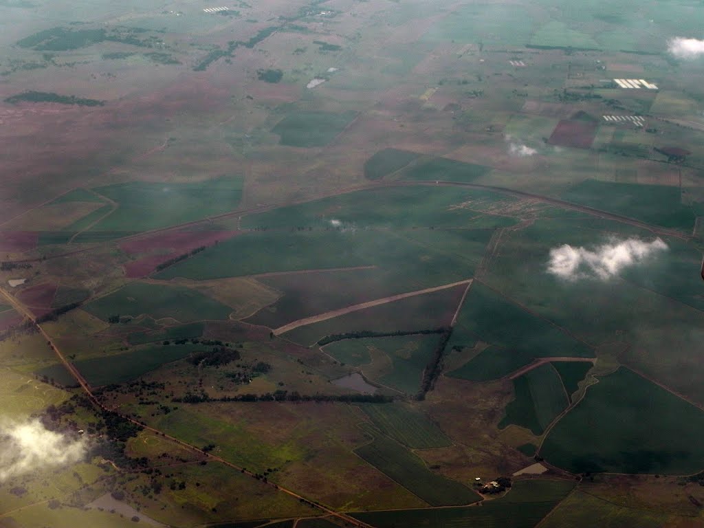
Photos of Thokoza


Thokoza Weather

Predicción: Clear sky
Temperatura: 30.7°
Humedad: 22%
Hora actual: 12:50 PM
Amanece: 05:48 AM
Anochece: 06:54 PM
Cala, South Africa
Latitude: -31.5241 // Longitude: 27.6969
Photos of Cala


Cala Weather

Predicción: Broken clouds
Temperatura: 24.5°
Humedad: 60%
Hora actual: 12:50 PM
Amanece: 05:43 AM
Anochece: 07:02 PM


