
Distance between  Ulundi and
  Thaba Nchu
284.23 mi Straight Distance
417.95 mi Driving Distance
9 hours 11 mins Estimated Driving Time
The straight distance between Ulundi (KwaZulu-Natal) and Thaba Nchu (Free State) is 284.23 mi, but the driving distance is 417.95 mi.
It takes 7 hours 21 mins to go from Ulundi to Thaba Nchu.
Driving directions from Ulundi to Thaba Nchu
Distance in kilometers
Straight distance: 457.32 km. Route distance: 672.49 km
Ulundi, South Africa
Latitude: -28.3167 // Longitude: 31.4167
Photos of Ulundi
")


.")

, son of Mpande, king from 1872 to 1884 - KwaZulu Cultural Museum, Ondini")
Ulundi Weather

Forecast: Overcast clouds
Temperature: 19.1°
Humidity: 97%
Current time: 03:04 PM
Sunrise: 05:41 AM
Sunset: 06:34 PM
Thaba Nchu, South Africa
Latitude: -29.2 // Longitude: 26.8333
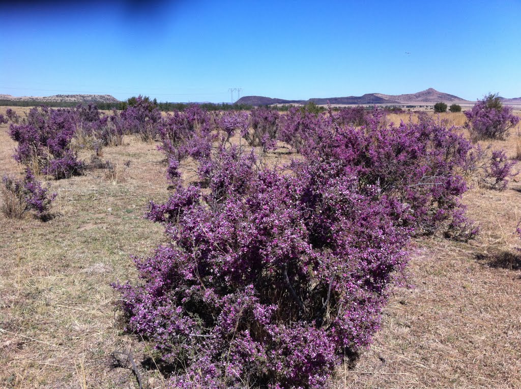
Photos of Thaba Nchu


Thaba Nchu Weather
Forecast: Overcast clouds
Temperature: 16.7°
Humidity: 85%
Current time: 03:04 PM
Sunrise: 05:58 AM
Sunset: 06:53 PM


