
Distance between  Virginia and
  Thaba Nchu
76.35 mi Straight Distance
100.42 mi Driving Distance
2 hours 47 mins Estimated Driving Time
The straight distance between Virginia (Free State) and Thaba Nchu (Free State) is 76.35 mi, but the driving distance is 100.42 mi.
It takes 2 hours 11 mins to go from Virginia to Thaba Nchu.
Driving directions from Virginia to Thaba Nchu
Distance in kilometers
Straight distance: 122.84 km. Route distance: 161.58 km
Virginia, South Africa
Latitude: -28.0958 // Longitude: 26.8809
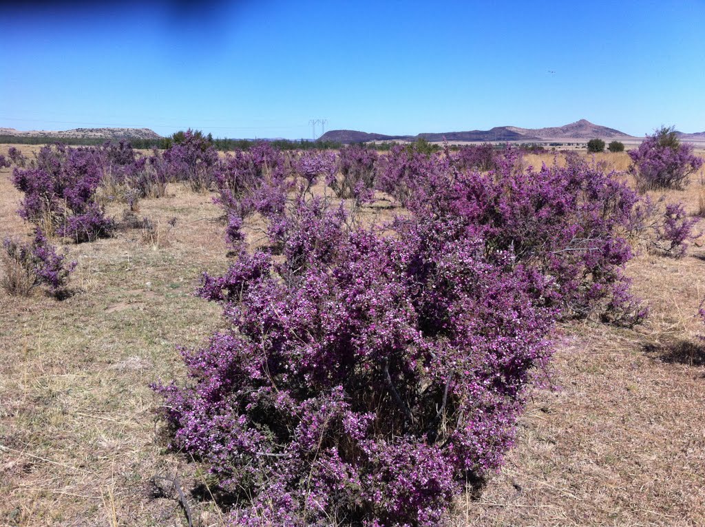
Photos of Virginia

")


Virginia Weather

Forecast: Overcast clouds
Temperature: 14.2°
Humidity: 86%
Current time: 06:11 AM
Sunrise: 06:10 AM
Sunset: 06:33 PM
Thaba Nchu, South Africa
Latitude: -29.2 // Longitude: 26.8333
Photos of Thaba Nchu


Thaba Nchu Weather
Forecast: Overcast clouds
Temperature: 14.7°
Humidity: 45%
Current time: 06:11 AM
Sunrise: 06:10 AM
Sunset: 06:33 PM


