
Distance between  Wepener and
  Eshowe
273.12 mi Straight Distance
425.93 mi Driving Distance
9 hours 32 mins Estimated Driving Time
The straight distance between Wepener (Free State) and Eshowe (KwaZulu-Natal) is 273.12 mi, but the driving distance is 425.93 mi.
It takes to go from Wepener to Eshowe.
Driving directions from Wepener to Eshowe
Distance in kilometers
Straight distance: 439.46 km. Route distance: 685.31 km
Wepener, South Africa
Latitude: -29.734 // Longitude: 27.0419
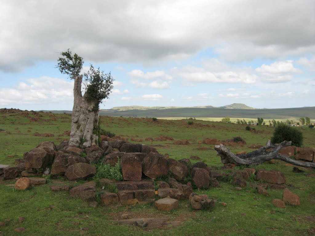
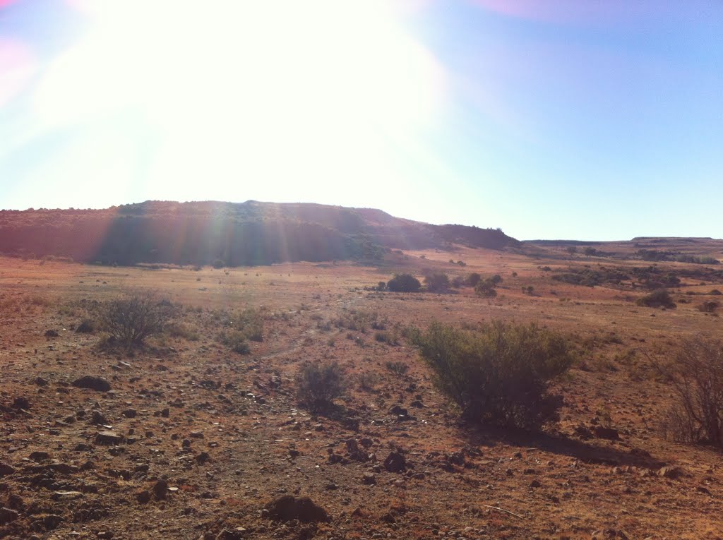
Photos of Wepener


Wepener Weather

Forecast: Clear sky
Temperature: 18.5°
Humidity: 45%
Current time: 12:00 AM
Sunrise: 03:55 AM
Sunset: 04:55 PM
Eshowe, South Africa
Latitude: -28.8904 // Longitude: 31.4712
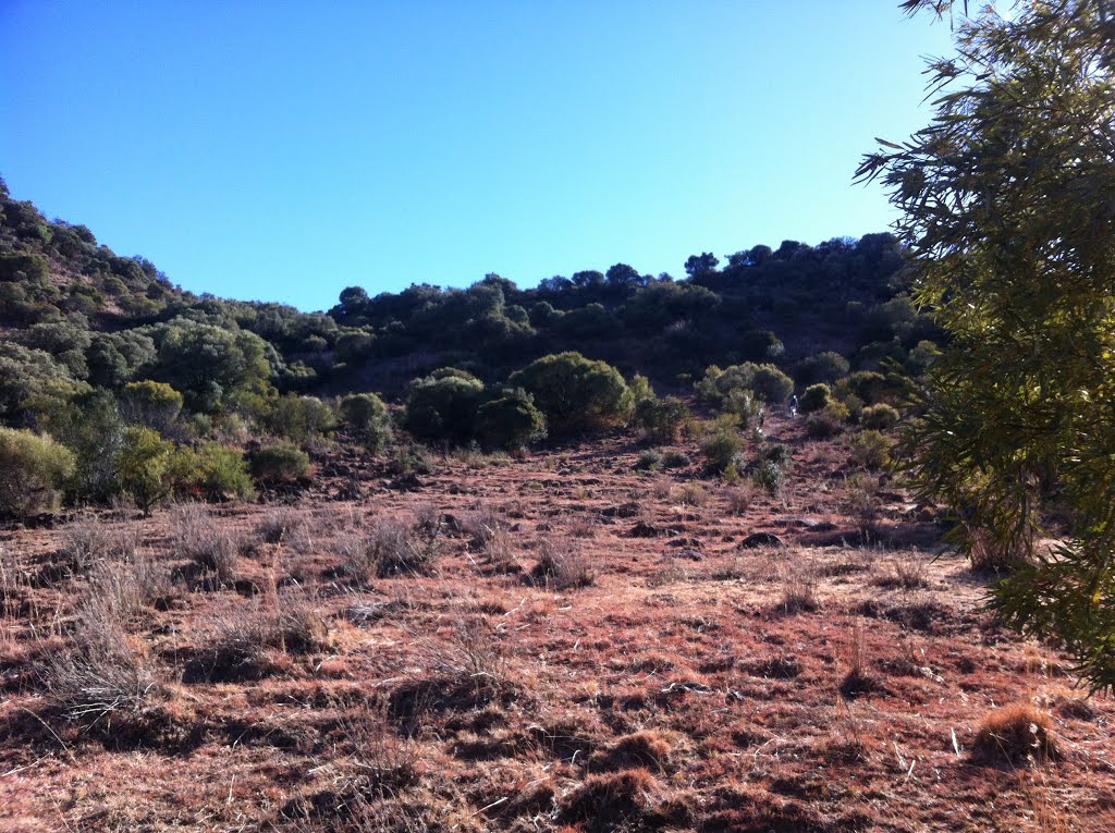
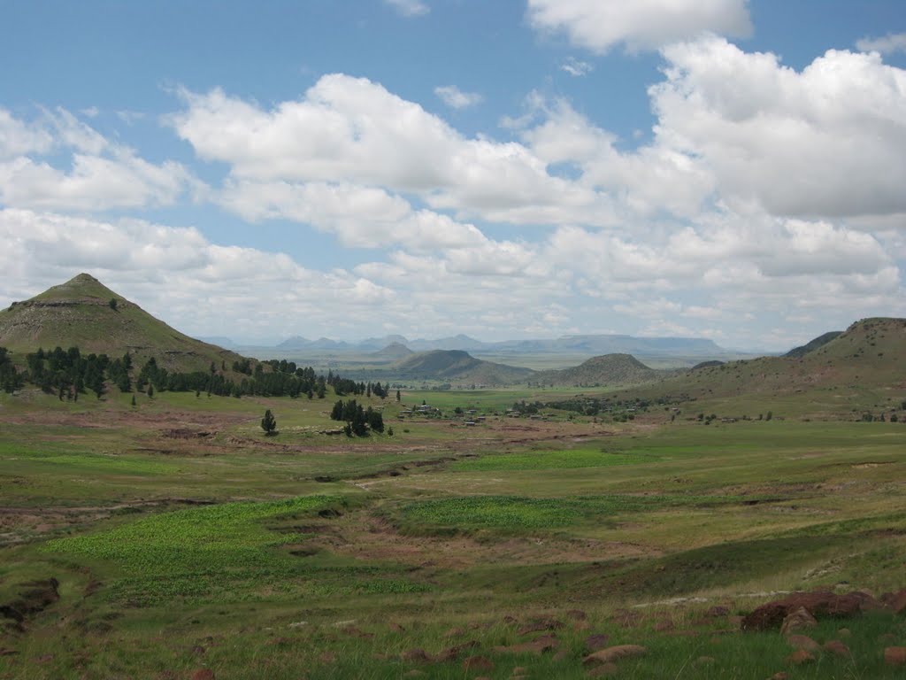
Photos of Eshowe


Eshowe Weather

Forecast: Overcast clouds
Temperature: 20.0°
Humidity: 94%
Current time: 11:49 AM
Sunrise: 05:38 AM
Sunset: 06:37 PM


