
Distance between  Breyten and
  Ulundi
164.80 mi Straight Distance
222.35 mi Driving Distance
4 hours 51 mins Estimated Driving Time
The straight distance between Breyten (Mpumalanga) and Ulundi (KwaZulu-Natal) is 164.80 mi, but the driving distance is 222.35 mi.
It takes to go from Breyten to Ulundi.
Driving directions from Breyten to Ulundi
Distance in kilometers
Straight distance: 265.16 km. Route distance: 357.77 km
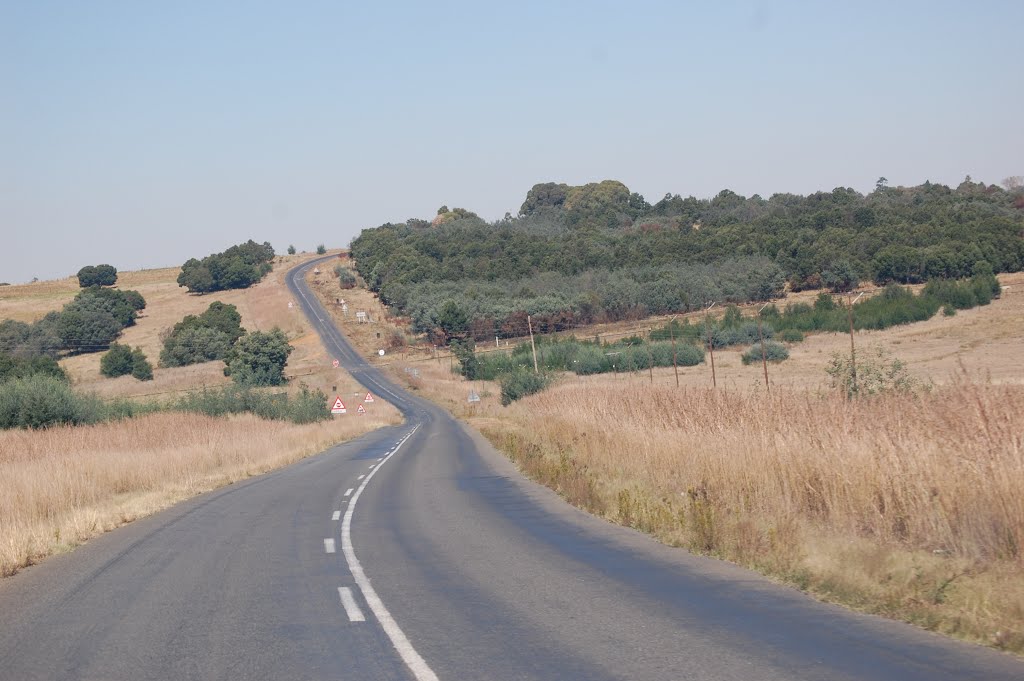
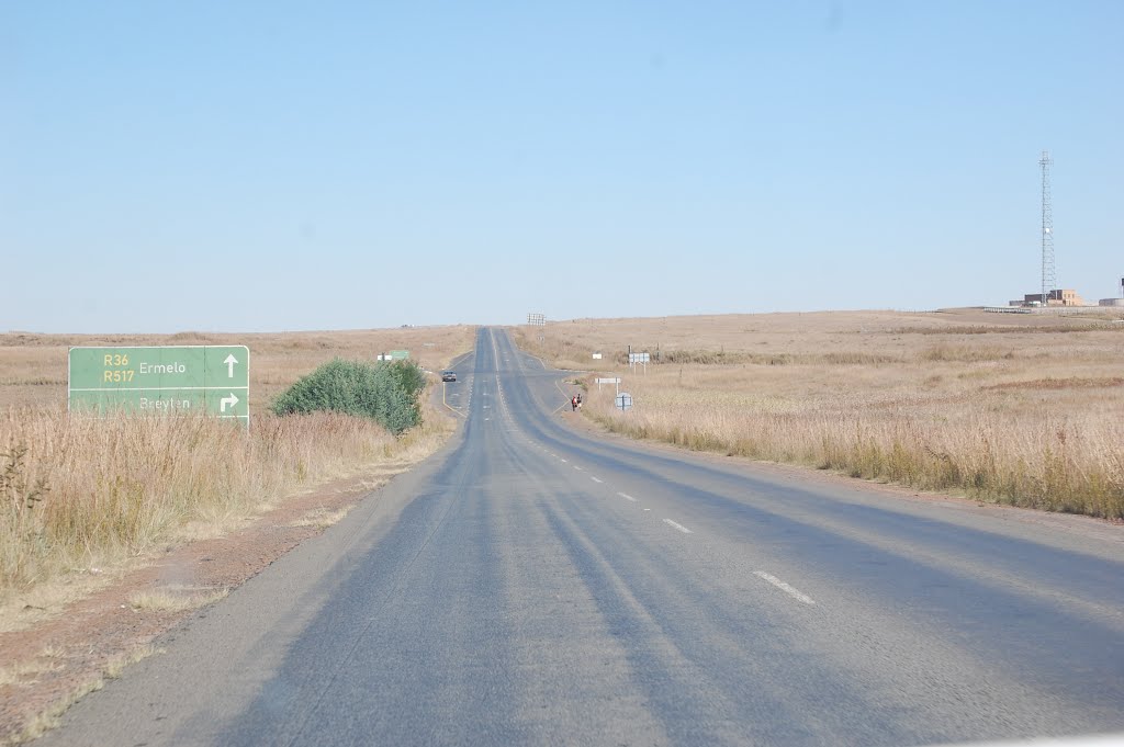
Breyten, South Africa
Latitude: -26.3 // Longitude: 29.9833
Photos of Breyten


Breyten Weather

Forecast: Clear sky
Temperature: 18.0°
Humidity: 40%
Current time: 03:34 PM
Sunrise: 05:54 AM
Sunset: 06:28 PM
Ulundi, South Africa
Latitude: -28.3167 // Longitude: 31.4167
Photos of Ulundi
")


.")

, son of Mpande, king from 1872 to 1884 - KwaZulu Cultural Museum, Ondini")
Ulundi Weather
Forecast: Clear sky
Temperature: 18.0°
Humidity: 40%
Current time: 03:34 PM
Sunrise: 05:47 AM
Sunset: 06:23 PM


